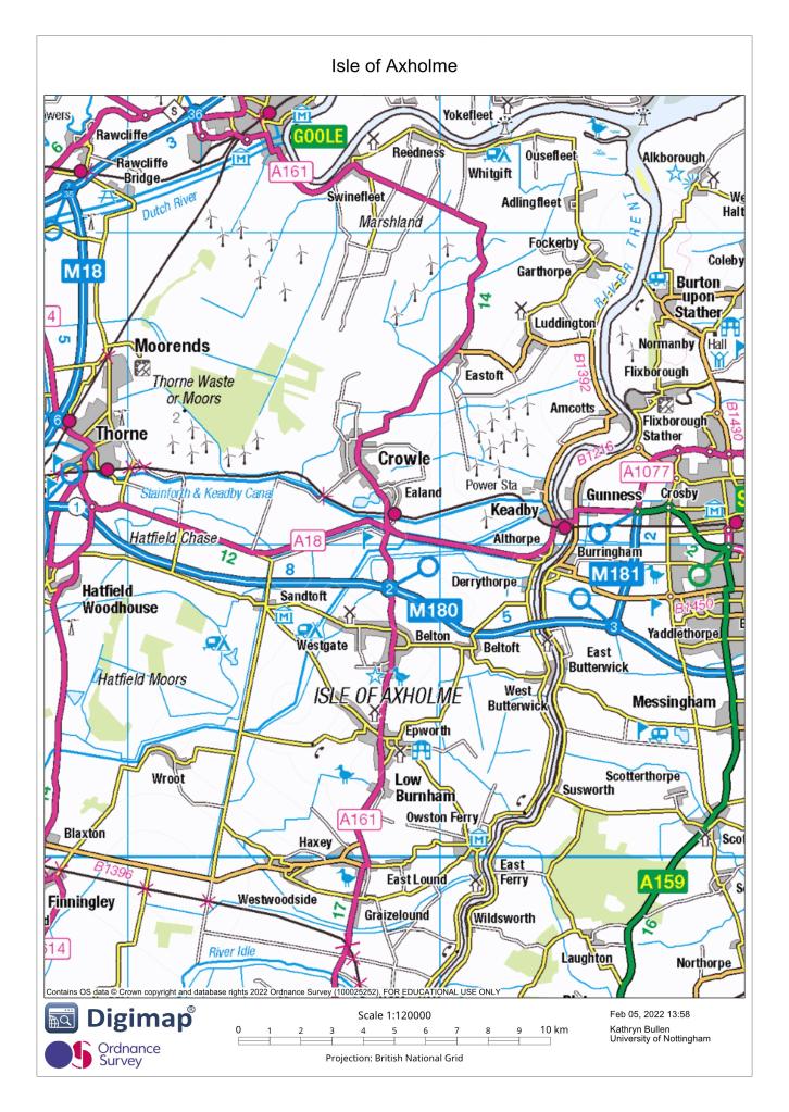
The Isle of Axholme is the only part of Lincolnshire west of the River Trent and measures a maximum of 16 miles from north to south by just over 6 miles east to west, with a land area of just under 80 square miles. Originally bounded by the River Don in the north, River Torne in the west, River Trent in the east and River Idle in the south, Axholme became known as an island because of the surrounding network of interconnected waterways.
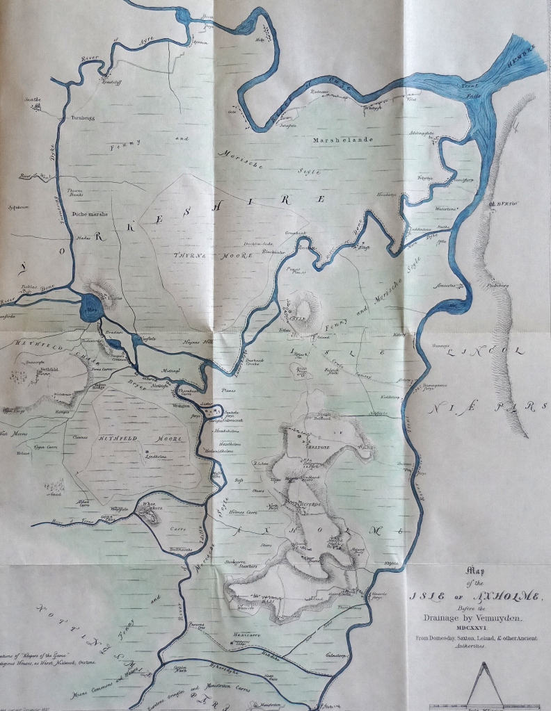
The substantial alterations to the landscape which followed drainage and land reclamation in the 1620s changed what was predominantly marshland liable to flooding into productive agricultural land. Consequently contemporary place-names may not now reflect their original meanings at the time of place-name coinage, but meanings may well become more relevant in the future following likely environmental changes. Despite not currently possessing the obvious appearance of an island, Axholme remains characterised by water, being drained and criss-crossed by a network of canals and man-made waterways, and serviced by numerous pumping stations; it is still known locally as ‘The Isle’.